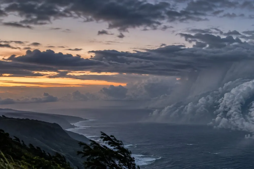
Hurricane Nolo strengthened to 85 mph early Friday as it moved closer to Hawaiʻi, putting the Big Island inside a narrow window in which tropical-storm conditions are expected by Friday night and hurricane conditions are possible early Saturday. An Air Force Reserve reconnaissance aircraft located the storm about 220 miles south of South Point at 2 a.m. HST, according to the latest federal advisory, a status independently reflected in the latest CBS report.
The upgrade is a material escalation from Thursday afternoon, when Nolo carried 70-mph winds and prompted a tropical-storm warning for Hawaiʻi County and a watch for Maui County. The American Quorum reported that warning expansion Thursday evening. Nolo reached hurricane strength hours later and was moving north-northeast at 5 mph early Friday, with hurricane-force winds extending 40 miles from its center and tropical-storm-force winds extending 105 miles.
A hurricane watch remains in effect for Hawaiʻi County alongside the tropical-storm warning, while Maui County remains under a tropical-storm watch. The National Hurricane Center said hurricane conditions are possible on the Big Island within 24 to 36 hours, especially in steep terrain, and tropical-storm conditions could reach Maui County on Saturday. Local reporting also documented the hurricane upgrade and the expectation of additional strengthening.
The center of Nolo is forecast to remain well south of the main Hawaiian Islands, but that track does not remove the most dangerous land threat: prolonged, terrain-enhanced rain. Forecasters project 15 to 30 inches across eastern and southern Hawaiʻi Island, with isolated totals reaching 35 inches. Western areas could receive 5 to 8 inches, with 10 inches in isolated locations. Maui could see 4 to 8 inches, with a maximum near 15 inches. The hurricane center and national coverage both warn that the totals could cause catastrophic, life-threatening flash flooding and mudslides.
Coastal hazards are also increasing. The federal forecast calls for 1 to 3 feet of storm-surge inundation in parts of Hawaiʻi County if peak surge coincides with high tide. Swells reaching exposed east- and south-facing shores Friday are expected to build through the weekend, producing life-threatening surf and rip currents.
State and county offices, public schools and University of Hawaiʻi facilities on Hawaiʻi Island are closed Friday, and the same closures expanded to Maui County. Gov. Josh Green’s official guidance says the closures are intended to keep residents off roads, give families time to prepare and preserve access for emergency crews. State officials urged residents to secure property, gather food, water and medications, charge devices and be ready to evacuate if directed.
Forecast uncertainty remains concentrated in Nolo’s eventual turn. The hurricane center expects the storm to slow Friday night, then turn west on Saturday as a ridge builds north of Hawaiʻi. A modest shift in that turn could change the wind exposure even if the center stays offshore. Nolo is forecast to become a major hurricane Saturday, but intensity and track projections can change rapidly; the next complete advisory was scheduled for 5 a.m. HST.
Residents should follow county alerts and National Weather Service instructions, avoid flooded roads and stay away from exposed shorelines. The confirmed change Friday morning is not a new landfall forecast. It is a stronger storm entering the period when preparations become harder and hazardous conditions begin.