
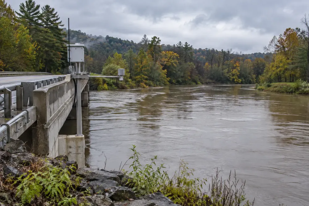
New York launched a statewide flood-monitoring initiative Wednesday that will expand and modernize streamgages, pair them with predictive modeling and give communities more timely information about rising water and longer-term watershed conditions.
FloodSafe NY is a partnership between the state Department of Environmental Conservation and the U.S. Geological Survey. The state said the effort will create a first-in-the-nation statewide hydrologic monitoring network designed to improve flood warnings, emergency response and infrastructure planning.
The program will add streamgages in high-priority locations and upgrade existing stations with cameras, backup data transmission and two-way telemetry. It also calls for lower-cost “virtual” streamgages in places where direct observations are sparse. Near-real-time readings from rivers and streams will feed a statewide model calibrated to significant waterways, giving local officials a better basis for anticipating where flooding may occur.
The same network is intended to support more than emergency alerts. According to the state announcement, the data will also help monitor drought, assess water supplies, guide water-resource policy and inform economic-development decisions. USGS already collects real-time flood data and conducts flood research nationally; the New York project extends that federal capability through a state-specific monitoring and modeling system.
Funding will come from New York’s voter-approved $4.2 billion Clean Water, Clean Air and Green Jobs Environmental Bond Act and USGS cooperative matching funds. The launch announcement did not specify the project’s total cost, list every new gage location or provide a completion date, so municipalities should not assume that new monitoring coverage is immediately available everywhere.
FloodSafe NY is also meant to strengthen the state’s existing Resilient NY program, which conducts watershed studies and develops flood-mitigation recommendations for vulnerable communities. More consistent stream data can help officials prioritize those studies, refine flood-inundation maps and evaluate whether proposed culvert, bridge or channel projects address the places facing the greatest risk.
Streamgages measure water level and, at many sites, support estimates of how much water is moving through a channel. A denser, more reliable network can reveal how quickly a river responds to intense rain, whether upstream conditions are changing and where older assumptions used in local planning may need revision. Cameras and redundant communications are intended to keep observations useful when a storm disrupts ordinary transmission—the moment emergency managers most need current information.
For county emergency managers and local governments, the value will depend on implementation: where instruments are placed, how quickly readings are incorporated into warnings and whether staff can use the new data in evacuation and capital-planning decisions. The initiative creates the statewide framework, but the September 16 announcement is a launch rather than a finished network.
Residents can continue using existing National Weather Service alerts and local emergency channels during storms. FloodSafe NY is designed to improve the underlying observations and forecasts over time, not replace those public warning systems.