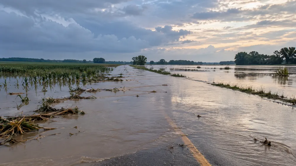
Nebraska Gov. Jim Pillen has declared an emergency for southeast Nebraska after record rainfall flooded roads, stranded motorists and triggered water rescues. The governor signed the emergency proclamation while surveying northern Lancaster County on Thursday, and his office announced the action Friday.
The scale of the storm was unusual even by the region’s long weather record. A weather review from the National Weather Service office in Omaha/Valley said training thunderstorms dropped 3 inches to locally 10 inches across southeast Nebraska and southwest Iowa. Lincoln Airport recorded 6.15 inches in one day, surpassing the previous local one-day record of 5.45 inches set on Aug. 29, 1910. The agency documented stranded vehicles and water rescues in both Lincoln and Omaha.
The National Weather Service’s storm log shows why a regional declaration was warranted. Reports included flowing water about one foot deep at 70th and Adams in Lincoln, submerged vehicles near Cornhusker Highway, water over Highway 4 west of Daykin and fire crews rescuing motorists in the Millard area. The reports span Lancaster, Jefferson, Douglas and Sarpy counties, showing that the event was not confined to a single neighborhood or drainage basin.
The state declaration authorizes Nebraska resources for the response and directs state and federal agencies to cooperate with the adjutant general, who also leads the Nebraska Emergency Management Agency. NEMA is coordinating with the Federal Emergency Management Agency, Small Business Administration and Natural Resources Conservation Service while damage assessments are compiled. Those assessments will help determine whether residents, businesses and local governments qualify for additional recovery assistance. The state action itself does not guarantee a federal disaster declaration or a particular level of aid.
In Waverly, northeast of Lincoln, local reporting documented Salt Creek overflowing near homes, water reaching chest depth in some locations and residents using a tractor to escape. Standing water also covered rural roads and fields. Farmers told the station that cattle had been moved to higher ground, while soybeans and other crops could not be relocated as harvest approached.
The disruption extended beyond homes and agriculture. BNSF said high water reduced capacity at its Lincoln Yard and complicated train movements through the regional gateway. In a Friday rail advisory, the company said operations had resumed by noon, but customers could still see delays, longer transit times and nonstandard routing while the network recovered.
The immediate response now moves into a documentation phase. State and local officials must establish the extent of damage to roads, homes, farms and businesses before outside programs can be matched to the losses. That process will determine whether the emergency remains chiefly a state-supported recovery or develops into a request for broader federal assistance. With the heaviest rain over, the central policy question is no longer how much fell, but how much public and private damage it left behind.