The National Hurricane Center issued hurricane and storm-surge watches Wednesday for a broad stretch of the northern Gulf Coast after forecasting that Tropical Storm Isaias could push water 5 to 7 feet above normally dry ground in the most exposed areas. The new watches turn an earlier long-range threat into an official 48-hour preparation alert spanning parts of Louisiana, Mississippi, Alabama and Florida.
The NHC advisory, issued at 10 a.m. CDT, placed the coast from Bay St. Louis, Mississippi, to Indian Pass, Florida, under a hurricane watch. A storm-surge watch extends from the mouth of the Mississippi River to Yankeetown, Florida. Tropical-storm watches cover the Louisiana coast from the Jefferson-Plaquemines Parish line to west of Bay St. Louis and the Florida coast from east of Indian Pass to the Aucilla River.
A storm-surge watch means life-threatening inundation is possible within 48 hours. The center forecast peak water of 5 to 7 feet from Ocean Springs, Mississippi, to Indian Pass and in Mobile Bay. It projected 3 to 5 feet from the mouth of the Mississippi River to Ocean Springs and from Indian Pass to the Aucilla River, 2 to 4 feet from the Aucilla River to Yankeetown, and 1 to 3 feet in Lake Pontchartrain. Those figures depend on the storm's final track and the timing of high tide, and can vary sharply over short distances.
The watches are the material change since The American Quorum's morning forecast, which reported that watches were expected but had not yet been posted. The Associated Press independently confirmed the hurricane-watch corridor and reported that officials were telling residents to put hurricane plans into action.
As of 10 a.m. CDT, an Air Force Reserve Hurricane Hunter found Isaias about 540 miles south-southwest of the mouth of the Mississippi River, moving east-northeast at 8 mph. Maximum sustained winds had risen to 45 mph, and the minimum pressure had fallen to 1,000 millibars. The hurricane center still forecasts rapid strengthening and expects Isaias to become a hurricane Thursday before approaching the northern Gulf Coast Friday.
Hurricane conditions could begin in the watch area late Friday, while tropical-storm-force winds could arrive around midday Friday and make outside preparations difficult or dangerous. The center forecasts 3 to 6 inches of rain, with isolated totals up to 10 inches, from far southeastern Louisiana to the Florida Panhandle through the weekend. Flash flooding, urban flooding and isolated river flooding are possible.
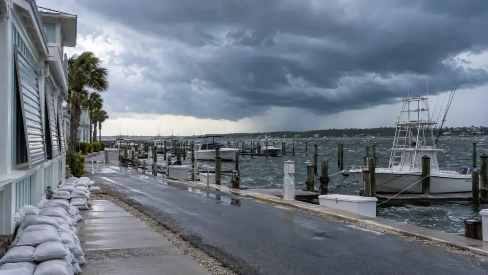
State agencies had already begun staging resources before the watches were issued. Florida's emergency-management division said it was positioning generators, fuel, flood barriers, water, meals, tarps, sandbags and other supplies in Tallahassee and the Santa Rosa area after a state of emergency was declared in 25 counties. The state's preparedness notice warned that saturated soil from recent rain could worsen flash-flood risk.
In Alabama, the state Emergency Management Agency said impacts could begin Friday and last into early Sunday, with power outages and flooding possible. Its state forecast called for heavy rain across Alabama through Saturday night, potential totals of 4 to 8 inches by Sunday evening and higher amounts in localized bands. The agency stressed that damaging effects can extend well outside the forecast cone.
The storm is also beginning to affect Gulf energy operations. Chevron evacuated some nonessential workers from offshore platforms while saying production remained normal, according to Reuters. That precaution underscores the storm's reach beyond the immediate coastline, even though the most urgent public risk is the surge and wind threat inside the newly posted watches.
The next full National Hurricane Center advisory is scheduled for 4 p.m. CDT Wednesday. Forecast shifts remain possible before landfall, so residents should use local emergency-management and National Weather Service instructions for evacuation zones, shelters and county-specific warnings rather than relying only on the center-line track.