
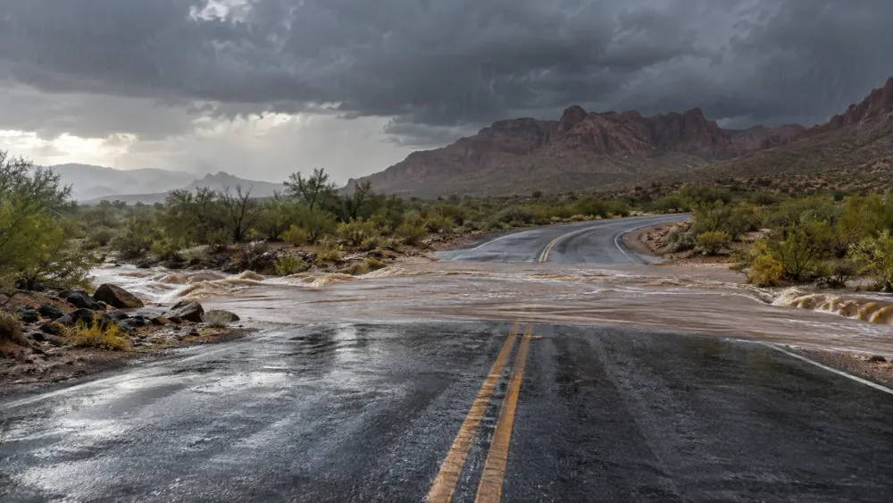
A Flood Watch covers most of Arizona through 11 p.m. Wednesday local time as tropical moisture sustains the risk of flash flooding, dangerous runoff and road closures across both urban and rural areas.
The National Weather Service office in Phoenix said the watch includes Maricopa, Pinal and Gila counties, while alerts from other weather offices cover broad stretches of central and northern Arizona. The Weather Service’s national briefing also warned of heavy to excessive rainfall in the Four Corners region into the weekend, even as the most concentrated Arizona threat is expected to ease after Wednesday night.
The risk is not limited to places receiving the highest rain total. Intense thunderstorms can send water rapidly into normally dry washes and low-water crossings, and runoff from higher terrain can reach roads after rain has diminished at a driver’s location. Saturated ground also raises the chance that additional storms produce faster runoff.
Travel consequences
Maricopa County’s official weather outlook advised residents that the broader wet-weather period could continue into Thursday. Localized street flooding, ponding at intersections and temporary closures are possible, while mountain and burn-scar areas face added debris-flow and rockfall risks.
The Arizona Department of Transportation’s monsoon driving guidance tells motorists not to cross a flooded wash, even when the water appears shallow. Drivers who encounter heavy rain should slow down, increase following distance, avoid hard braking and use AZ 511 for current highway restrictions. Going around a road-closed barricade can also expose a driver to liability under state law.
For households, the state’s Emergency Information Network flood guidance distinguishes between a watch, meaning flooding is possible, and a warning, meaning flooding is occurring or imminent. Residents in low-lying areas should keep phone alerts enabled, know a route to higher ground and avoid walking near flowing washes or drainage channels.
What to monitor overnight
A Flood Watch is not a prediction that every community will flood. Storm placement and rainfall intensity can vary sharply over short distances. The most useful sources are active Weather Service warnings, county emergency notices and AZ 511 road updates rather than a single statewide rainfall estimate.
If a Flash Flood Warning is issued, people in the warned area should move away from washes and low crossings immediately. Drivers who reach water over a roadway should turn around and choose another route; depth and pavement damage are difficult to judge in moving water.
The watch’s scheduled expiration at 11 p.m. does not guarantee every hazard ends at that moment. Runoff can continue after rainfall stops, and officials may extend or replace alerts as conditions change. Anyone traveling late Wednesday or early Thursday should check the latest warning and road status just before departure.
Conditions can change faster than scheduled forecast updates.