Up to 35 inches of rain could fall on parts of Hawaiʻi Island as Tropical Storm Nolo approaches, a forecast that has put the island under a hurricane watch and prompted public-school, university and government closures, shelter openings and a request for federal emergency assistance.
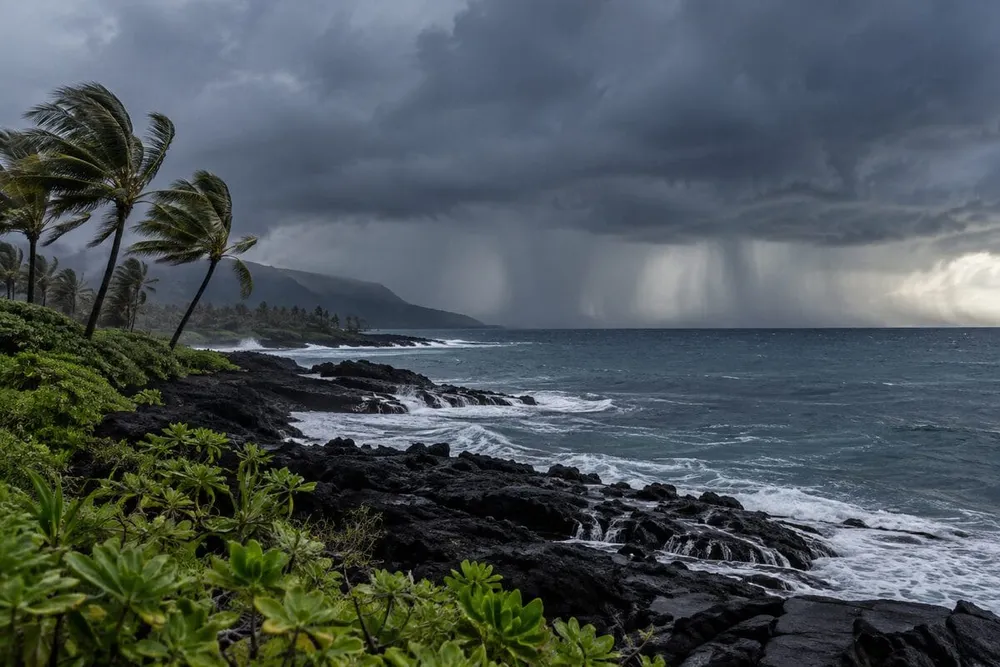
Nolo had sustained winds of 50 mph and was nearly stationary about 285 miles south of South Point at 2 a.m. Hawaiʻi time Thursday, according to the latest public advisory. Forecasters expected a northward or north-northeastward drift through Friday, followed by a sharp turn west near the Big Island on Saturday. The storm was forecast to become a hurricane Thursday night and could reach major-hurricane strength, but the center was still expected to pass south of the island.
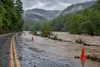
The most immediate danger is water rather than the precise location of the center. Hawaiʻi Island is forecast to receive 15 to 20 inches of rain, with isolated totals reaching 35 inches; Maui could receive 5 to 10 inches, with isolated totals up to 20 inches. The National Hurricane Center warned that the rain could cause catastrophic, life-threatening flooding and mudslides, a threat the state emergency agency said would be greatest Friday and Saturday.
Warnings and closures spread
A hurricane watch remains in effect for Hawaiʻi County, meaning hurricane conditions are possible within 48 hours. That is not the same as a hurricane warning, and Nolo remained a tropical storm early Thursday. The distinction matters because the track and intensity forecast can still shift; it does not lessen the need to prepare before roads, power or communications are disrupted.
Gov. Josh Green ordered state and county offices, public schools and University of Hawaiʻi campuses on Hawaiʻi Island closed Thursday and Friday. Those closures expand to Maui County on Friday. Green also requested a presidential emergency declaration for all four counties, seeking federal help with search and rescue, emergency power, debris removal, communications, transportation and other protective work at a 75% federal cost share, according to the governor’s news release.
Local preparations moved beyond advisories Wednesday night. Four Hawaiʻi County refuge locations were listed for residents seeking shelter, and free shuttle service was arranged from Nāʻālehu to Pāhala, HPR reported. State courts on Hawaiʻi Island are closed Thursday and Friday, with Maui, Molokaʻi and Lānaʻi court operations closing Friday. Hawaiʻi County also advised residents to store drinking water because power failures could interrupt pumping and distribution.
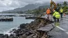
State parks, campsites, forest reserves, trails and wildlife areas closed Thursday on Hawaiʻi Island and will close Friday on Maui and Molokaʻi. The Department of Land and Natural Resources cited the combined risk from streams, falling trees, high surf and coastal surge and told people in remote places facing dangerous roads or surf to shelter in place. Camping permits were suspended until further notice, the department said.
Why rainfall is the central danger
Nolo’s slow motion allows moisture to feed repeatedly into the same windward slopes. Hawaiʻi’s steep volcanic terrain can accelerate runoff into streams and low-lying roads, while saturated slopes raise the danger of landslides. A flood watch covers Hawaiʻi Island and Maui County through Saturday afternoon, with forecasters warning that roads could close and urban or low-lying property could be damaged.
The forecast totals also arrive after a punishing storm season. Areas of Hawaiʻi Island were heavily damaged by Hurricane Lala in August, and state land managers said successive storms were compounding the difficulty of safely reopening parks and forests. That history does not prove Nolo will produce the top-end rainfall estimate, but it increases the operational risk if weakened roads, slopes or utilities are hit again.
Wind remains a separate concern. Damaging tropical-storm-force winds could reach the Big Island as early as Friday morning, and hurricane conditions are possible Friday night under the current watch. A combination of rain-soaked soil and strong wind can bring down trees and utility lines even in places that escape the deepest flooding. The county’s water-conservation request reflects that cascading risk: a weather event can become a power problem and then a water-service problem.
A forecast with consequential uncertainty
Nolo’s projected turn is the largest unresolved variable. The storm was moving slowly north early Thursday, but steering currents are expected to bend it sharply west as a subtropical ridge rebuilds. Small differences in the timing or strength of that turn could change how close Nolo passes to Hawaiʻi Island and where its strongest winds and heaviest rain set up.
Forecast uncertainty cuts both ways. A center passing south of the Big Island does not guarantee limited effects because tropical moisture can extend far from the circulation, especially on the storm’s northern side. At the same time, a 35-inch figure is an isolated maximum, not a statewide expectation. National reporting based on the same forecast placed the broader Big Island range at 15 to 20 inches and Maui’s at 5 to 10 inches, while the remaining islands face lower totals and localized flooding.
What happens next
Forecasters are scheduled to issue full updates at 5 a.m., 11 a.m., 5 p.m. and 11 p.m. Hawaiʻi time, with intermediate advisories as conditions warrant. The next decisions will turn on whether the hurricane watch becomes a warning, whether additional islands are placed under tropical alerts, and whether the storm’s westward turn occurs before its core reaches the Big Island.
For residents and visitors, officials’ guidance is already concrete: finish preparations, avoid unnecessary travel, monitor county alerts, prepare for outages and never drive through flooded roads. The emergency posture is based on a forecast rather than observed catastrophic damage. What changed overnight is the scale of the public response—closures, shelters and a federal request—before a slow-moving storm with a potentially extreme rainfall field reaches its closest point to the state.