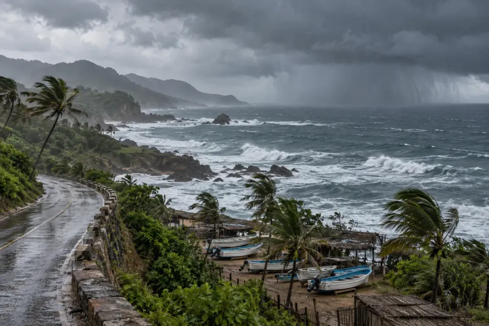
Hurricane Polo’s outer rainbands reached Mexico’s Pacific coast Wednesday morning, shifting the immediate danger from a forecast threat to an unfolding flood and landslide emergency even as the storm’s center remained offshore.
The latest advisory from the U.S. National Hurricane Center placed Polo close enough to southwestern Mexico for its broad circulation to deliver dangerous weather well beyond the eye. Polo had weakened from Category 5 to a still-powerful Category 4 hurricane, with sustained winds near 155 mph, according to a Wednesday Reuters report. Forecasters expected the core to stay over water while tracking near the coast during the next day or two.
That distinction matters, but it does not remove the main hazards. The hurricane center forecast 3 to 8 inches of rain across Guerrero and Michoacán through Thursday. Coastal areas of Oaxaca, Colima and Jalisco were also expected to receive heavy rainfall. Saturated slopes, short coastal watersheds and fast-rising streams can produce destructive flooding and mudslides far from a storm’s center, particularly in mountainous terrain.
Offshore track, onshore danger
Polo’s compact core was not forecast to cross the coastline in the near term, but hurricane-force and tropical-storm-force winds extended outward from the center Tuesday night. Dangerous surf, rip currents and large waves were already affecting coastal communities, while heavy rain began spreading inland. The Associated Press reported that beaches had emptied, authorities suspended classes in several areas and Mexico’s navy closed or restricted ports in Guerrero and Michoacán.
Mexico’s government activated command posts in Michoacán, Colima, Jalisco and Guerrero to coordinate inspections, shelter readiness and possible evacuations, the Security Ministry said. Michoacán’s civil-protection agency separately said it had identified 19 shelters in Aquila, Coahuayana and Lázaro Cárdenas with room for more than 6,100 people. Those preparations are aimed at communities exposed to river flooding, slope failures and hazardous marine conditions even if the eye never makes landfall.
The storm’s proximity prompted wider disruptions. Jalisco suspended classes in 33 coastal municipalities through Friday, while port restrictions affected vessels in cities including Acapulco, Zihuatanejo, Lázaro Cárdenas and Manzanillo, according to a continuously updated El País account. Officials urged residents to avoid beaches, river crossings and flooded roads and to rely on civil-protection notices rather than the apparent distance of the eye from shore.
The port measures have consequences beyond shoreline safety. Manzanillo and Lázaro Cárdenas are major cargo gateways, so prolonged restrictions can delay vessel movements and inland logistics. With a direct strike not forecast, prevention remained the defining phase of the response Wednesday morning. Closing navigation early also protects smaller fishing craft, whose crews face risks from swells and sudden squalls well before the strongest part of a cyclone arrives.
A rapid rise to Category 5
Polo became one of the strongest eastern Pacific hurricanes in recent decades after intensifying from a tropical storm to Category 5 strength in roughly 36 hours. Aircraft observations helped forecasters measure the storm as it strengthened Tuesday. It later weakened to Category 4, but the hurricane center warned that intensity fluctuations were possible and that Polo should remain a major hurricane for several days.
The rapid change is especially significant for Mexico’s Pacific coast because it compresses the time available for officials, ports and households to act. Guerrero is still recovering from Hurricane Otis, which intensified explosively before striking Acapulco in October 2023. Polo’s projected offshore path is more favorable than Otis’s direct hit, but the comparison has sharpened public attention to how quickly conditions can deteriorate.
Very warm ocean water, weak vertical wind shear and abundant atmospheric moisture supported Polo’s development. Researchers cited by AP also pointed to El Niño as a contributor to the unusually favorable eastern Pacific environment this season. That does not mean El Niño alone caused Polo’s intensity; individual storms depend on several interacting oceanic and atmospheric conditions, and the storm’s future strength remains subject to internal cycles that are difficult to predict precisely.
What forecasters are watching
The most consequential near-term question is not whether Polo’s eye crosses the coast, but where its rainbands persist. A slow-moving storm can repeatedly direct moisture over the same watersheds, raising flood risk over time. Small shifts in track could also move the strongest winds and highest waves closer to populated stretches of Guerrero, Michoacán or Colima.
Forecasters are also monitoring Hurricane Odalys farther west in the Pacific. Although Odalys was not considered a direct threat to Mexico on Wednesday morning, interaction between nearby weather systems can complicate Polo’s eventual motion. The hurricane center’s regular advisories remain the authoritative source for changes in watches, track and intensity.
For now, Mexico’s emergency posture reflects the central lesson of Polo’s evolution: an offshore forecast is not an all-clear. With the outer bands already ashore and the heaviest rainfall expected through Thursday, the immediate test is whether early port closures, school suspensions, shelters and public warnings can keep a powerful ocean storm from becoming a deadly inland disaster.