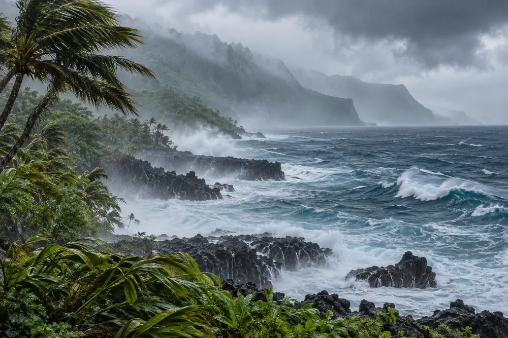
HONOLULU — Hurricane Nolo’s 100-mph winds are now producing tropical-storm conditions on Hawaiʻi Island, where a 62-mph gust has been measured, while a Maui station recorded 60 mph. The National Hurricane Center’s advisory warned that storm rainfall on eastern and southern Hawaiʻi Island could total 10 to 20 inches, with isolated amounts reaching 25 inches and life-threatening flooding and mudslides possible.
The observations mark a distinct escalation from TAQ’s earlier report, which documented Nolo’s conversion to a hurricane and 85-mph winds Friday morning. Nolo reached 105 mph before easing slightly to 100 mph by 8 a.m. Hawaiʻi Standard Time Saturday, but its land impacts expanded as the center lingered south of the island chain.
Wind and rain are reaching land
At 8 a.m., Nolo’s eye was about 145 miles south of South Point and 335 miles south-southeast of Honolulu, moving west at 3 mph. Forecasters expect the center to remain well south and southwest of the main islands and accelerate westward through the weekend. They nevertheless predict Nolo could strengthen into a major hurricane later Saturday night or early Sunday, with effects extending far beyond the eye.
Hurricane-force winds extended 45 miles from the center, while tropical-storm-force winds reached 140 miles. A tropical-storm warning and hurricane watch remained in force for Hawaiʻi County, and a tropical-storm watch covered Maui County. The Honolulu forecast office’s local statement said the main wind event was unfolding across Hawaiʻi Island and Maui, with scattered power and communications outages possible and some roads potentially becoming impassable.
The flood threat is concentrated on windward and southeast Hawaiʻi Island. Nolo is expected to add 4 to 8 inches there, with isolated 10-inch amounts that would push storm totals as high as 25 inches. Eastern Maui could receive another 1 to 2 inches, producing storm totals of 4 to 8 inches and isolated 10-inch maxima. The hurricane center also projected a 1- to 3-foot storm surge in Hawaiʻi County, accompanied by dangerous waves, erosion and life-threatening surf. Forecasters cautioned that surge depth and timing can change over short distances, making coastal road conditions especially dangerous as swells build.
Federal support and local restrictions
Hawaiʻi is operating with pre-landfall federal assistance after President Donald Trump approved an emergency declaration covering Honolulu and the counties of Hawaiʻi, Maui and Kauaʻi. The authorization provides a 75% federal cost share for eligible emergency protective measures, including direct federal assistance.
The state’s emergency hub is consolidating storm forecasts, shelter information and local alerts. State parks, camping areas, forest reserves and hiking trails on Hawaiʻi Island, Maui and Molokaʻi remain closed, and transportation officials have discouraged nonessential travel on the vulnerable Hāna Highway through East Maui in a road warning.
Hawaiian Electric said in its latest utility update that crews and contractors were staged for restoration work and warned that saturated ground could increase tree-related damage to electrical equipment. Residents in the warning area should remain indoors, stay away from windows, keep phones charged and follow local evacuation instructions. The next complete federal hurricane advisory is scheduled for 11 a.m. HST.