
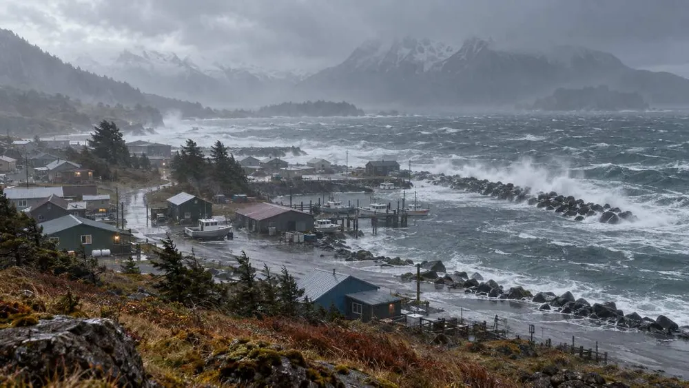
A strong Bering Sea storm is spreading high winds, heavy rain and coastal-flood risk across multiple parts of Alaska, with hazards shifting from western communities toward the Interior and Southcentral region. Forecasts issued Tuesday evening show that conditions will vary sharply by location, so residents and travelers should rely on local alerts rather than a single statewide forecast.
The National Weather Service’s Southwest storm briefing says coastal-flood advisories cover the Kuskokwim Bay coast, while elevated water is also possible along Bristol Bay. The agency warned that the system would affect Southwest communities first before wind and rain expanded eastward.
Along the Yukon Delta coast, the Fairbanks forecast office kept a high-surf advisory in effect until 1 a.m. Wednesday. The advisory called for water levels two to four feet above the normal high-tide line. Marine forecasts also showed multiple small-craft advisories, with some areas facing 30-knot winds and gusts reaching 45 knots.
Southcentral conditions intensified later Tuesday. The Anchorage forecast office displayed coastal-flood, flood, high-surf, wind and marine advisories. Its evening update warned that winds in some locations could increase to 35 to 45 mph, with gusts to 60 mph. Exact timing and severity depend on terrain, exposure and proximity to the coast.
Regional forecasting reported that Interior wind gusts could reach about 45 mph from the Yukon-Koyukuk area toward the Fairbanks Borough. Fairbanks was expected to receive roughly two-tenths to one-half inch of rain Tuesday, with similar totals possible Wednesday as winds increased overnight.
The storm’s earlier western phase carried the largest coastal threat. A forecast issued before arrival projected more than 1.3 inches of rain in parts of Southwest Alaska and wind gusts as high as 65 mph through the storm period. It specifically identified low-lying coastal communities around Kuskokwim Bay as vulnerable to high surf, erosion and water-level increases.
For residents, the immediate precautions are practical: secure loose outdoor objects, keep clear of beaches and riverbanks under advisory, avoid unnecessary small-boat travel and allow extra time for road or air disruptions. Power interruptions are possible where saturated soil and strong gusts affect trees or utility equipment, although outages will depend on local conditions.
Airline, ferry and school schedules can change faster than broad weather summaries. Travelers should confirm departures directly with operators, and coastal residents should keep vehicles, fuel and emergency supplies above expected water levels where local officials advise. Never drive through water covering a road.
The storm is not producing identical risks everywhere at once. Coastal water threats should ease first in some western zones, while wind and rain persist farther east into Wednesday. People should check the timestamp on each warning, because expired screenshots can circulate after a hazard has changed. The National Weather Service’s local forecast pages and community emergency notices remain the authoritative sources for evacuation, shelter or travel instructions.